Navigate the intricate waterways and vibrant coastlines of Florida’s East Peninsula with confidence using this specialized Garmin mapping card. Designed for marine enthusiasts, this microSD/SD card delivers crystal-clear aerial overlays that transform your chart plotter into a powerful tool for safe and precise boating adventures. Whether you’re plotting a course through bustling inlets, chasing trophy fish offshore, or exploring hidden mangroves, these charts bring every detail to life with unmatched clarity.
Precision Aerial Overlays for Superior On-Water Visibility
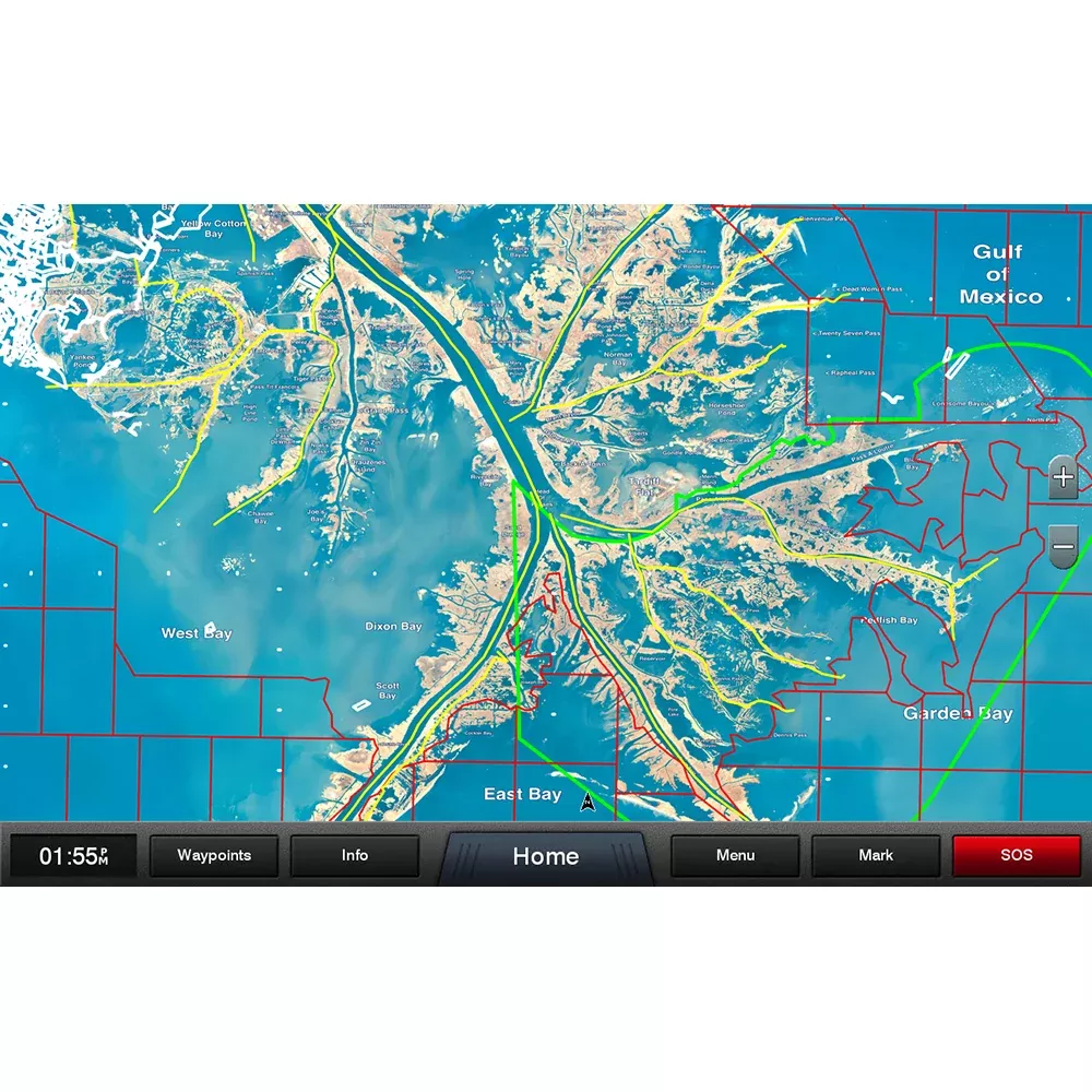
Imagine zooming in on your plotter screen to reveal high-resolution aerial photography that overlays seamlessly on your existing basemap. This isn’t just imagery—it’s a game-changer for spotting narrow channels, shallow flats, and coastal landmarks that generic maps often miss. Local names for waterways, coves, and points of interest pop up right where you need them, making it easier to communicate with locals or follow familiar routes without second-guessing.
High-Definition Offshore Mapping Tailored for Florida Waters
Florida’s East coast demands charts that handle both nearshore shallows and deep offshore contours. The high-contrast elevation shading highlights subtle depth changes and structure, helping you avoid hazards while targeting prime fishing grounds. From the bustling ports of Miami to the wild stretches near Cape Canaveral, this coverage spans the entire peninsula, empowering kayakers, sailboats, center consoles, and larger vessels alike.
Key Advantages for Boaters and Anglers
Enhanced Situational Awareness: Aerial layers reveal marinas, bridges, and buoys in stunning detail, reducing navigation stress during low visibility or night runs.
Fishing Edge: Spot wrecks, reefs, and drop-offs with offshore shading that stands out against bluewater, perfect for inshore redfish runs or gulfstream trolling.
User-Friendly Integration: Simply pop the card into your compatible Garmin chart plotter—no complex setup required. It auto-loads the overlay for instant access.
Reliable Performance: Built to withstand the marine environment, ensuring your charts are ready when the weather turns or the bite heats up.
Perfect Fit for Your Garmin Ecosystem
Seamlessly pairs with a wide range of Garmin chart plotters, enhancing models used by serious mariners. It’s the ideal upgrade for anyone tired of outdated paper charts or basic digital maps, delivering professional-grade detail right on deck.
Real-World Tips for Maximizing Your Mapping Card
To get the most out of this card, layer it with your plotter’s sonar overlays for a 360-degree view of the bottom. During peak seasons, use the local naming to scout lesser-known ramps and anchorages, avoiding crowded hotspots. Regularly update your Garmin software to ensure peak compatibility and access to any enhancements.
Frequently Asked Questions
What areas does the Florida East Peninsula mapping cover?
It provides comprehensive coastal coverage along Florida’s East Peninsula, from southern keys up through major inlets, ports, and offshore zones, focusing on high-detail aerial overlays for navigation.