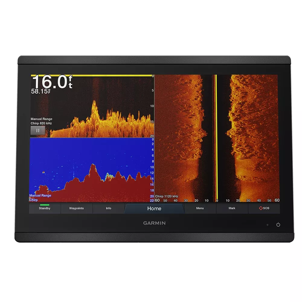
Whether you’re chasing trophy fish in competitive tournaments, navigating coastal waters on extended cruises, or fine-tuning your sailboat’s performance during a regatta, the Garmin GPSMAP 8616xsv stands out as a powerhouse 16-inch chartplotter and sonar combo. This unit transforms your helm into a command center with its expansive full HD IPS touchscreen, delivering crisp visuals from any angle—even under the harsh glare of the sun or through polarized lenses. Boaters appreciate how multiple units can align seamlessly for a modern, flush glass helm that looks as good as it performs.
Crystal-Clear Sonar for Unmatched Underwater Insights
Dive deep into the water column without compromise. Built-in dual-channel 1 kW CHIRP traditional sonar pairs perfectly with ClearVü and SideVü scanning sonars, revealing structure, bait balls, and wrecks with stunning detail. Ultra High-Definition scanning sonar operates right out of the box—no extra black box needed—while full Panoptix compatibility lets you see fish and objects in real-time from every angle. Anglers report spotting fish arches clearer than ever, helping you drop baits precisely where they strike. Pair it with compatible transducers to reach depths up to 5,000 feet, adapting effortlessly to varied water conditions like murky bays or clear offshore drops.
Precision Mapping That Guides You Confidently
Hit the water ready to go with preloaded BlueChart g3 coastal charts and LakeVü g3 inland maps, infused with Navionics data for lifelike shading and contour details. Auto Guidance+ crunches your boat’s draft, beam, and height to plot safe, optimized routes around shallows and hazards—saving hours of manual planning. Expand horizons with optional upgrades like g3 Vision for high-res satellite imagery or LakeVü Ultra for even finer inland contours. Mariners love how it overlays Quickdraw contours from your own logs, building a personal map library over time.
Build a Connected Marine Ecosystem
Go beyond standalone with NMEA 2000 and Garmin Marine Network ports that link radar, autopilots, cameras, and instruments across screens. OneHelm integrates third-party gear like digital switches and stabilizers, putting full control at your fingertips. Video inputs handle engine cams or live aft views via BNC or HDMI, while outputs mirror to secondary displays. This scalability shines for larger vessels, where sharing data prevents blind spots and streamlines operations during busy maneuvers.
Wireless Freedom and App-Powered Boating
Stay linked without cables: Wi-Fi pairs with the ActiveCaptain app for software updates, community-shared Quickdraw data, smart notifications, and map shopping on the fly. Bluetooth and ANT connect to quatix watches for wrist-based alerts, wireless wind sensors, or remotes for hands-free control. Stream feeds from compatible action cams, turning your chartplotter into a multi-source entertainment and monitoring hub. Cruisers use this to plan routes from the dock, pre-fish hotspots, or even share trip data with crew back home.
Tailored for Sailors: Race-Winning Tools
Sailors gain an edge with SailAssist, offering laylines, enhanced wind roses, and prerace countdowns. Visualize true wind angles, set/drift, course-over-ground, and tides via customizable gauges and sliders. These overlays help optimize tacks, anticipate shifts, and nail starts—features tournament racers swear by for shaving seconds off elapsed times. Tide tables and celestial data round out tools for bluewater passages.
SmartMode: Stress-Free Control in Critical Moments
Customize SmartMode stations for instant access to sonar, radar, cameras, or media with one touch. Docking becomes intuitive: overlay depth, speed, and camera views without menu diving. High-stress scenarios like tight marinas or night anchoring feel manageable, as pilots configure presets for angling, cruising, or racing workflows.
Robust Build for Everyday Marine Demands
At 15.1 x 10.3 x 3 inches and 9.6 lbs, it boasts IPX6/IPX7 water resistance, surviving sprays and submersion. The 1920×1080 anti-glare IPS panel (13.6 x 7.7-inch viewable) draws just 4.2A, with 10 Hz GPS/GLONASS/Galileo for smooth tracking. Flush or bail mounting options adapt to any console, though pros handle glass helm installs for that seamless look.
Key Connections at a Glance
Garmin Marine Network: 2 ports
Transducers: 1 LVS, 1 8-pin, 1 12-pin
NMEA 2000: 1 port
NMEA 0183: 1 in/1 out (differential)
Video: 1 BNC composite + 1 HDMI in, 1 HDMI out
Wireless: Wi-Fi, Bluetooth, ANT
What’s Included for Quick Setup
GPSMAP 8616xsv unit
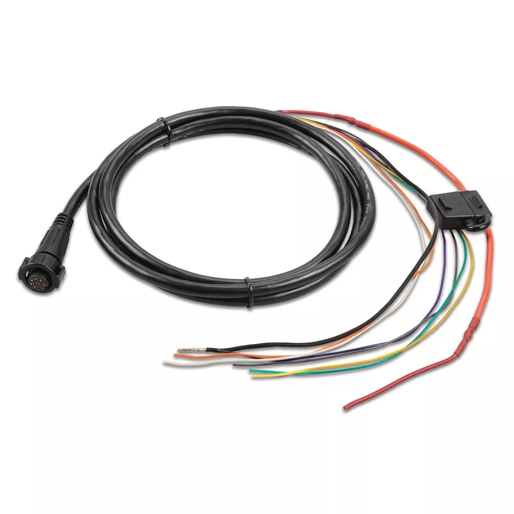
Power/data cable
NMEA 2000 drop cable and T-connector
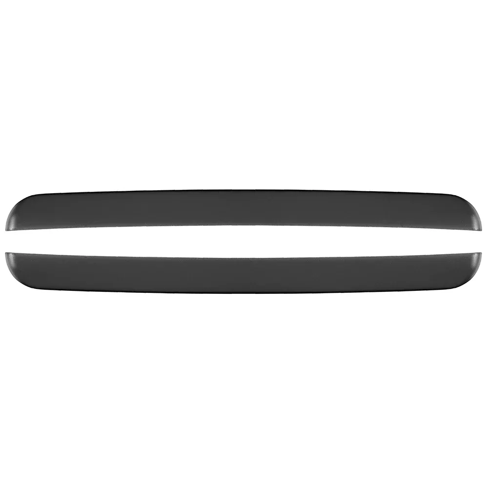
Flush mount kit with trim snap covers
Sun cover
Documentation
Frequently Asked Questions
What makes the IPS touchscreen on the GPSMAP 8616xsv ideal for boating?
The in-plane switching technology provides wide viewing angles and superior sunlight readability, ensuring clear visuals for everyone on deck, even with polarized sunglasses. It’s perfect for shared helm stations where crew needs quick glances without repositioning.