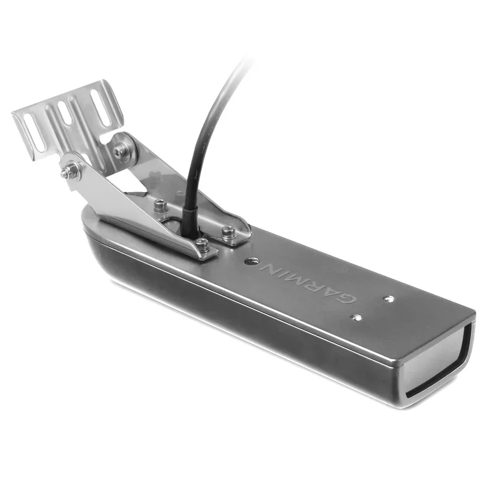
“Garmin GT41-TM – TM DownVü/SideVü 500W (CHIRP 260/455 kHz) Traditional 600W (50/200 kHz) Ducer w/Temp – 12-Pin” has been added to your cart. View cart
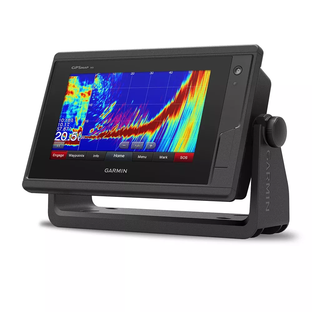
Imagine gliding across open waters with crystal-clear charts at your fingertips, spotting fish schools in real-time, and staying connected to your crew without missing a beat. The Garmin GPSMAP 742xs transforms your boating adventures into seamless experiences, blending a vibrant 7-inch touchscreen with powerhouse features tailored for serious mariners, anglers, and sailors alike. Whether you’re chasing trophy bass on inland lakes or plotting a coastal cruise, this compact powerhouse delivers precision and reliability that stands up to saltwater spray and rough seas.
Crafted for those who demand more from their electronics, it goes beyond basic plotting by integrating advanced sonar scanning, expansive networking, and community-driven mapping tools. Anglers rave about its ability to reveal underwater structures others miss, while sailors appreciate the wind-optimized tools that shave seconds off race times.
Network Like a Pro: Expand Your Boat’s Brain
Connectivity is where the GPSMAP 742xs shines brightest. Hook it up to your vessel’s NMEA 2000 backbone to control autopilots, digital switches, weather stations, audio systems, VHF radios, and AIS trackers effortlessly. Share radar overlays, live video feeds from IP cameras, and even sonar data across multiple displays via the Garmin Marine Network—no more isolated screens or redundant hardware.
Wireless ANT integration pairs seamlessly with compatible wearables and sensors, feeding real-time wind data or remote controls directly to your helm. It’s like giving your boat a central nervous system, where every device communicates instantly for smarter decisions on the fly.
Unlock Hidden Depths with CHIRP Sonar Excellence
Dive into the underwater world with built-in 1 kW CHIRP traditional sonar and ClearVü scanning sonar, delivering razor-sharp images of structure, baitfish, and bottom contours. Pair it with Panoptix live sonar for a 360-degree view ahead, behind, and below—perfect for avoiding obstacles or dialing in on structure-hugging gamefish.
Pro tip for serious anglers: Overlay GPS speed, radar returns, or time-of-day data right on your sonar screen for context that turns good days into epic ones. Networked setups let multiple units share this intel, so your bow-mounted buddy display stays synced without extra wiring hassles.
Preloaded Maps That Guide You Home Safely
Hit the water ready to go with BlueChart g3 coastal charts covering U.S. shorelines and LakeVü HD for over 17,000 inland lakes, both infused with Navionics data. Auto Guidance technology plots optimal routes around shallows and overhead hazards, factoring in your boat’s draft for worry-free navigation.
Visualize safe zones with Depth Range Shading and Shallow Water Shading—essential for avoiding groundings in unfamiliar territory. Upgrade paths like g3 Ultra or Vision+ add satellite imagery, high-res relief shading, and dynamic tides/currents for pro-level intel that feels custom-built for your trips.
ActiveCaptain: Your Boating Command Center
Wi-Fi connectivity unlocks the ActiveCaptain app, turning your smartphone into a marine hub. Plan routes ashore, sync Quickdraw Contours from community-shared lakes, and receive smart notifications without glancing away from the helm. Crowd-sourced hotspots and software updates keep you ahead of the curve, all managed from the dock or mid-cruise.
Fishermen love pre-fishing lakes virtually, then watching contours auto-update live. It’s the bridge between your chartplotter and the global boating network, fostering tips, maps, and updates that evolve with your skills.
Lightning-Fast Positioning and Custom Mapping
A 10 Hz GPS/GLONASS receiver updates your position and heading 10 times per second, rendering smooth tracks and pinpoint waypoints—up to 5,000 of them. Dropping markers on hot spots or exact return points has never felt more responsive.
Quickdraw Contours lets you map uncharted waters in real-time at 1-foot intervals, creating proprietary HD maps you control. Share with the community or hoard for your secret honey holes; either way, it’s mapping democracy on the water.
Sailor’s Edge: Wind and Race Mastery
For racers and cruisers, SailAssist pages deliver laylines, virtual start lines, synchronized countdowns, and wind roses that maximize VMG. Track set/drift, true/apparent winds, and COG lines to outmaneuver the fleet. GPX imports from other devices mean your favorites transfer painlessly, keeping your proven routes intact.
Ready for Real-World Installation
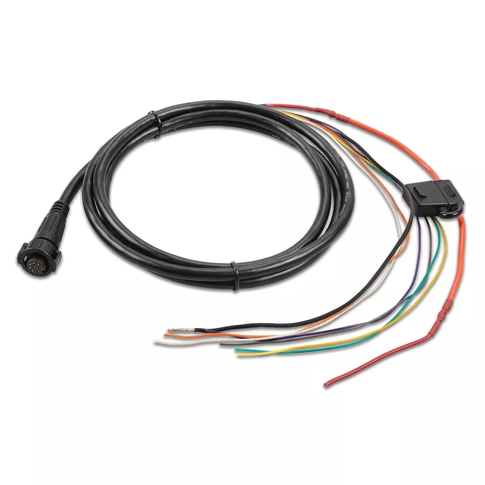
Everything you need arrives in the box: the unit, power/data cable, bail and flush mounts, protective cover, and trim accents. Connections galore—Marine Network, transducer, NMEA ports, and video input—make integration straightforward for DIYers or pros. Its rugged build thrives in marine environments, from fogged windshields to pounding wakes.
Frequently Asked Questions
Can the GPSMAP 742xs share sonar data across multiple screens?
Yes, through the Garmin Marine Network, it shares sonar returns, including Panoptix views, maps, and user data effortlessly among compatible units, eliminating the need for duplicate transducers.