Explore the Eastern Shores with Precision Vector Mapping
Navigating the vibrant coastlines of eastern South America—from the bustling ports of Brazil to the rugged terrains of Argentina—demands charts that deliver accuracy and depth. This vector chart pack stands out by combining scalable vector outlines with layered 3D data and high-resolution satellite imagery, giving you a multidimensional view of harbors, reefs, and channels that traditional flat maps simply can’t match.
Crafted with Navionics Datacore MapMedia technology, these charts adapt seamlessly to any zoom level, ensuring critical details like depth contours and navigation aids remain sharp and reliable, whether you’re plotting a coastal cruise or anchoring in a secluded bay.
Why These Charts Elevate Your On-Water Experience
Immersive 3D Visualization: Rise above the waterline with bathymetric data that models underwater topography, helping you spot drop-offs and safe passages intuitively.
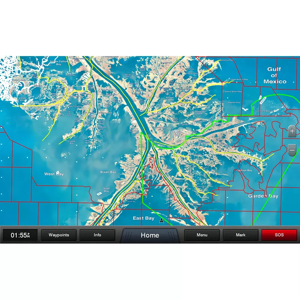
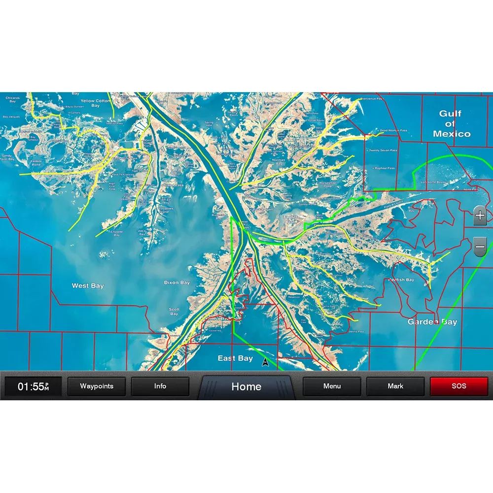
Satellite-Enhanced Clarity: Overlay true-color photos to correlate charted features with real-world visuals, perfect for unfamiliar anchorages or verifying landmarks during low visibility.
Dynamic Vector Precision: Lines, symbols, and labels scale without distortion, reducing errors in tight maneuvers around marinas or fishing grounds.
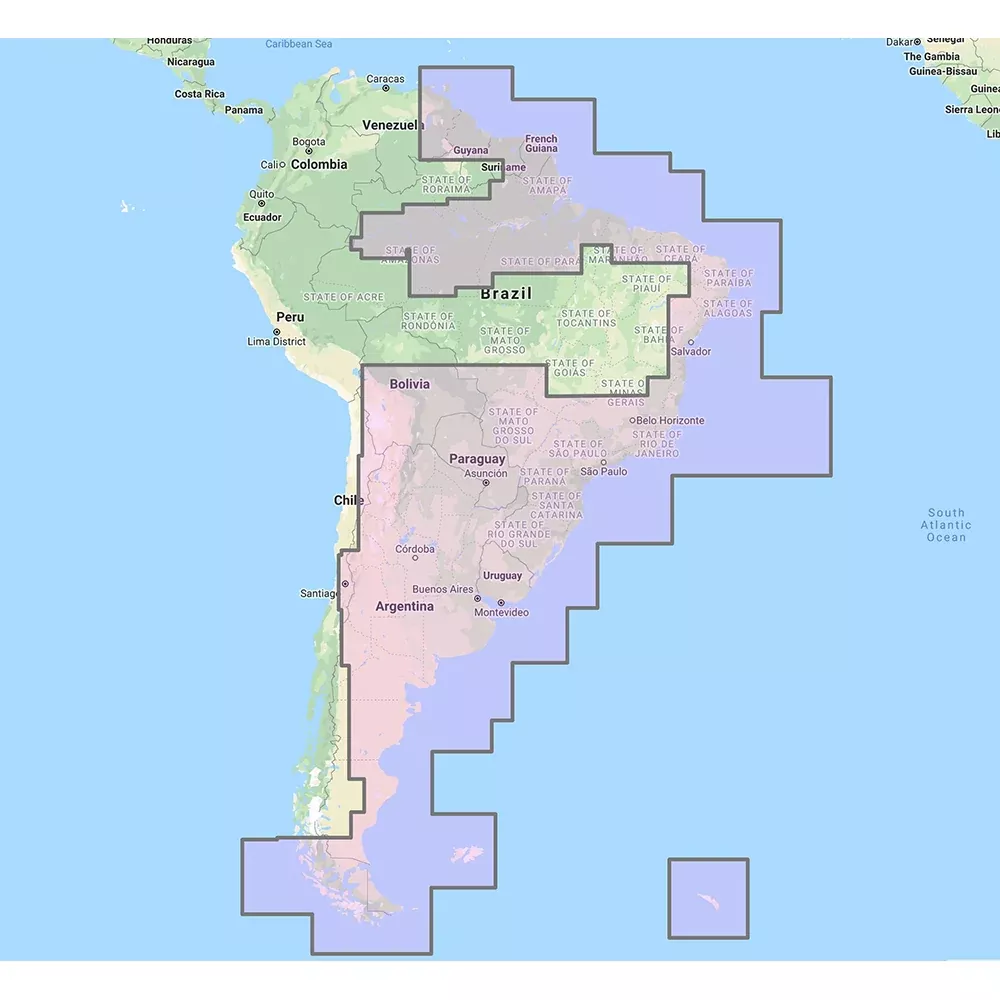
Seamless Regional Coverage: Tailored for the east coast, including key areas like Rio de Janeiro, Buenos Aires, and the Falklands, empowering confident voyages across diverse ecosystems.
Boaters report fewer surprises at sea, with enhanced situational awareness turning potential hazards into straightforward navigations. Imagine threading through coral-fringed passages with confidence, backed by data that feels like a personal scouting report.
Perfect Fit for Your Furuno Navigation Setup
Designed exclusively for Furuno’s advanced ecosystems, this pack integrates effortlessly into NavNet 3D, TZT, and TZT2 displays. Once activated, it overlays onto your radar, sonar, and AIS feeds for a unified command center.
Users love how it syncs with autopilot routes and weather overlays, creating a holistic picture that streamlines trip planning from offshore passages to inshore explorations.
Effortless Activation for Instant Access
Unlocking is straightforward: Retrieve your unique system ID from the “My NavNet” menu on your display, then coordinate with your trusted dealer for the code. Within moments, the full suite of charts, 3D layers, and satellite views populates your screen, ready for your next adventure.
Pro tip: Test the 3D mode in calm waters first to familiarize yourself with its depth-shading cues—they’re game-changers for reading bottom structure on the fly.
Maximize Value with Smart Chart Strategies
Layer satellite photos over vectors during daylight for visual confirmation of beaches and buoys. Switch to 3D bathymetry at dusk to anticipate swells or fish-holding structures. For longer hauls, toggle shading options to highlight traffic separation schemes and restricted zones along busy shipping lanes.
Fishermen appreciate the detailed reef outlines for targeting species hotspots, while cruisers value port facility icons that pinpoint fuel docks and repairs. Always cross-reference with local knowledge, as dynamic conditions like tides shape real-time decisions.
Frequently Asked Questions
What areas does the South America East chart pack cover?
It focuses on the eastern seaboard, spanning from northern Brazil down through Uruguay, Argentina, and extending to the Falkland Islands, with intricate detail on coastal features, rivers, and inlets.