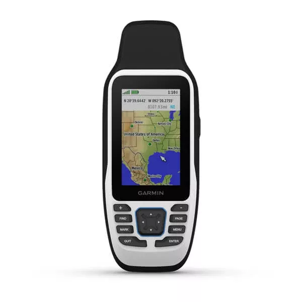
The Garmin GPSMAP 79s Handheld GPS (MPN 010-02635-00, UPC 753759284510) is a rugged floating handheld marine GPS – the right standalone GPS for boaters, anglers, kayakers, paddleboarders, and outdoor enthusiasts who need reliable position / navigation data without depending on a fixed boat-mounted chartplotter. Two key marine-specific features distinguish the GPSMAP 79s from generic handheld GPS units: positive buoyancy (floats when dropped in water – the unit doesn’t sink if it goes overboard) and fogproof construction (the case is sealed and pressurized in a way that prevents internal condensation from forming during temperature changes, which would otherwise obscure the display). The ‘s’ suffix in the model name indicates this is the variant with a built-in 3-axis tilt-compensated electronic compass – a significant upgrade over the non-‘s’ base GPSMAP 79 model. The compass provides heading reference even when the unit is held still (the basic GPSMAP 79 only knows heading when you’re moving – GPS-derived heading from successive position updates). The compass works in any orientation thanks to the tilt-compensation. 3-inch sunlight-readable display – readable in direct sunlight without struggling to see the screen. Stores up to 10,000 waypoints (saved positions you want to navigate back to or share) plus tracks and routes. Up to 19 hours of battery life in GPS mode (two AA batteries) – covers a full day of GPS use without battery anxiety. Water-resistant construction with IPX7 rating – survives immersion in 1 meter for 30 minutes. NMEA 0183 connectivity for boat electronics integration. Reliable Garmin GPS positioning – the standard reference brand in handheld GPS with decades of field-proven product reliability across marine, outdoor, automotive, and aviation applications.
The Garmin GPSMAP 79s Handheld GPS is a rugged floating handheld marine GPS – the right standalone GPS for boaters, anglers, kayakers, paddleboarders, and outdoor enthusiasts who need reliable position / navigation data without depending on a fixed boat-mounted chartplotter. The ‘s’ suffix in the model name indicates this is the variant with a built-in 3-axis tilt-compensated electronic compass.
Why a handheld GPS when I have a chartplotter. Several practical use cases for handheld GPS even on boats with fixed-mount chartplotters: (1) Backup navigation – chartplotters can fail, lose power, or be damaged. A handheld GPS provides backup navigation capability that’s independent of the boat’s electrical system and main electronics. Critical safety equipment. (2) Off-boat use – kayak, paddleboard, dinghy, ship’s tender, shore expeditions. The handheld goes wherever you go. (3) Position recording during fishing – drop waypoints at productive fishing spots without needing to look at the helm chartplotter. Especially valuable for active fishing where you can’t leave your fishing position. (4) Trail / shore navigation – hiking, exploring, hunting, or beach activities where boat GPS isn’t relevant. (5) Personal navigation device – separate from the boat’s electronics, dedicated to the operator’s specific use.
Marine-specific features. Two key features distinguish the GPSMAP 79s from generic handheld GPS units: (1) Positive buoyancy – the unit floats when dropped in water. Standard handheld GPS units sink immediately on water contact, lost forever. The GPSMAP 79s floats face-up so it can be recovered. Critical for boat use where drops overboard are routine. (2) Fogproof construction – the case is sealed and internally pressurized in a way that prevents internal condensation from forming during temperature changes. Standard GPS units develop internal condensation when carried from cold to warm environments (or vice versa) – the condensation obscures the display until it dissipates. The 79s eliminates this entirely.
‘s’ variant – tilt-compensated electronic compass. The ‘s’ suffix indicates this is the variant with a built-in 3-axis tilt-compensated electronic compass. The compass provides heading reference even when the unit is held still. The basic non-‘s’ GPSMAP 79 only knows heading when you’re moving (GPS-derived heading calculated from successive position updates) – useless when you’re stationary or moving very slowly. The ‘s’ compass works regardless of motion. Tilt compensation means the compass works in any orientation – holding the unit flat, tilted, or angled doesn’t affect heading accuracy (vs older 2-axis compasses that only work when held perfectly level). For navigation applications where heading matters when stationary (chartplotter-style position viewing, dead-reckoning navigation, hunting / hiking applications), the ‘s’ compass is critical.
3-inch sunlight-readable display. The 3-inch display is sunlight-readable – high-contrast LCD technology that stays visible in direct sunlight without struggling to see the screen. Standard smartphone-style displays are washed out in bright sunlight. the dedicated transflective LCD of the GPSMAP 79s uses ambient light to enhance display visibility (the brighter the surrounding light, the brighter the display appears). Critical for boat / outdoor use where you’ll typically operate in full sunlight.
10,000 waypoint storage. The unit stores up to 10,000 waypoints (saved positions you want to navigate back to or share), plus tracks (recorded paths of where you’ve been) and routes (sequences of waypoints planned for future navigation). Practical translation: enough storage for thousands of fishing spots, hundreds of cruising waypoints, and decades of recorded activity. For serious fishing applications where saving productive spots matters for future trips, the 10,000 waypoint capacity is generous. Waypoints can be transferred between the GPSMAP 79s and computer / mobile devices for backup and sharing.
19-hour battery life. Up to 19 hours of battery life in GPS mode (two AA batteries) – covers a full day of GPS use without battery anxiety. Practical battery options: (1) Standard alkaline AA – cheap, available anywhere, full 19-hour runtime. (2) Lithium AA – longer runtime (24+ hours), better cold-weather performance, but more expensive per battery. (3) NiMH rechargeable AA – reusable across many charge cycles, lower per-use cost, but somewhat shorter runtime than alkaline and require periodic recharging. For multi-day expeditions, carry spare AAs. For boat use where the unit is typically charged between trips, alkaline works fine.
Water-resistant construction. IPX7 rating – the unit survives immersion in 1 meter of water for 30 minutes without damage. Practical impact: survives accidental drops in water (combined with the floating capability, the unit can be recovered intact), survives heavy rain and wave wash, can be used with wet hands without concern. The IPX7 rating is sufficient for any marine / outdoor use case short of intentional underwater operation (the unit isn’t designed for use while submerged).
NMEA 0183 connectivity. The GPSMAP 79s includes NMEA 0183 connectivity – standard marine electronics serial interface. Practical use: transfer GPS position / waypoint data to a connected boat chartplotter / autopilot. For boats with NMEA 0183-equipped electronics, the handheld can serve as a backup GPS source for the main electronics. NMEA 2000 isn’t supported on this handheld – the older 0183 interface is more common on handheld GPS units due to power and complexity considerations.
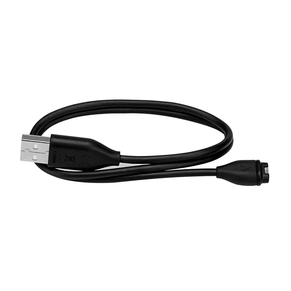
Garmin Connect / mobile app integration. Connect the GPSMAP 79s to your smartphone via the included USB cable to use Garmin’s free mobile app for waypoint management, route planning, track download, and software updates. The mobile app provides a larger interface for managing the unit’s data than the handheld’s 3-inch display, useful for trip planning and post-trip review.
Use case scenarios. The GPSMAP 79s is the right handheld GPS for: (1) Marine backup navigation – critical safety equipment for boats with chartplotters as primary navigation. (2) Kayak / paddleboard / dinghy use – portable GPS that floats. (3) Fishing position recording – waypoint drops at productive spots during active fishing. (4) Hunting / hiking – portable navigation for off-water adventures. (5) Beach / shore activities – rugged GPS that handles outdoor conditions. (6) Multi-purpose adventurer GPS – one unit for various activities.
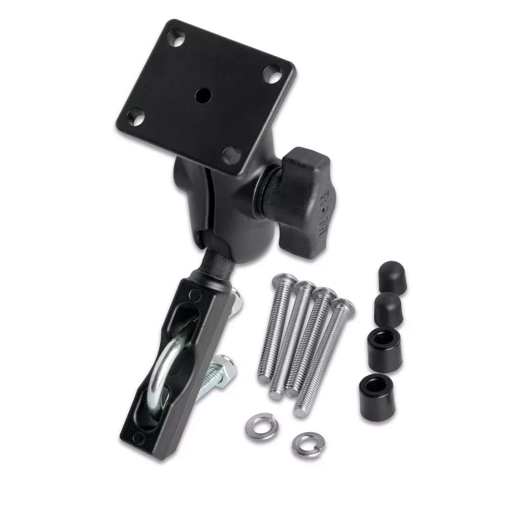
What’s in the box. Garmin GPSMAP 79s handheld unit, USB cable for computer / mobile device connection, basic documentation. NOT INCLUDED: AA batteries (supply 2 AAs), carrying case, mounting bracket (optional accessories sold separately). For boat use, the optional marine mounting bracket lets you secure the handheld at the helm when not handheld. For outdoor use, a carrying case / lanyard is useful but not required.
Warranty. Garmin standard 1-year limited warranty applies. Save the receipt and the original packaging. Warranty service runs through Garmin’s authorized service network worldwide. Most field failures Garmin sees in the handheld GPS line are use / abuse related (drops onto hard surfaces, water intrusion through damaged cases, battery contact corrosion from leaving old batteries installed long-term) rather than unit defects – careful use delivers many years of reliable service. Garmin handheld GPS units have an excellent field reliability record across decades of production.