Discover Seamless Navigation and Fishfinding Power
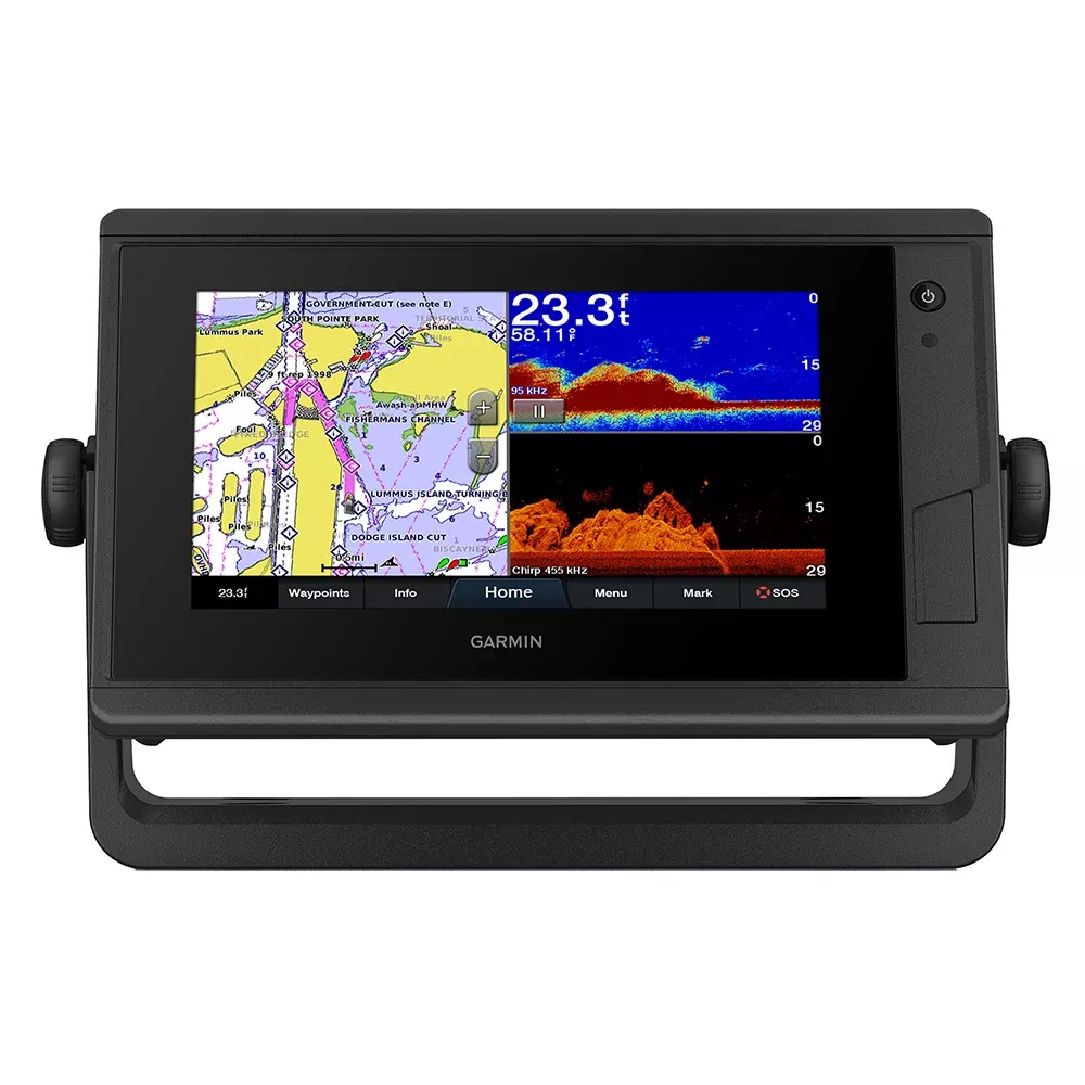
Imagine gliding across open waters with crystal-clear charts at your fingertips and real-time fish detection that transforms your boating adventures. The Garmin GPSMAP 742xs Plus delivers that experience through its vibrant 7-inch touchscreen, designed to shine even under the harshest sunlight. Boaters and anglers rave about how this compact unit blends advanced GPS plotting with high-resolution sonar imaging, making it a go-to for everything from casual cruises to serious offshore fishing trips.
What sets it apart? It’s not just the hardware—it’s the smart integration that lets you customize your helm like never before. Whether you’re marking waypoints for a tournament or plotting a safe route home, this combo unit responds intuitively to your touch while pulling in data from your entire onboard ecosystem.
Superior Sonar for Unmatched Underwater Insights
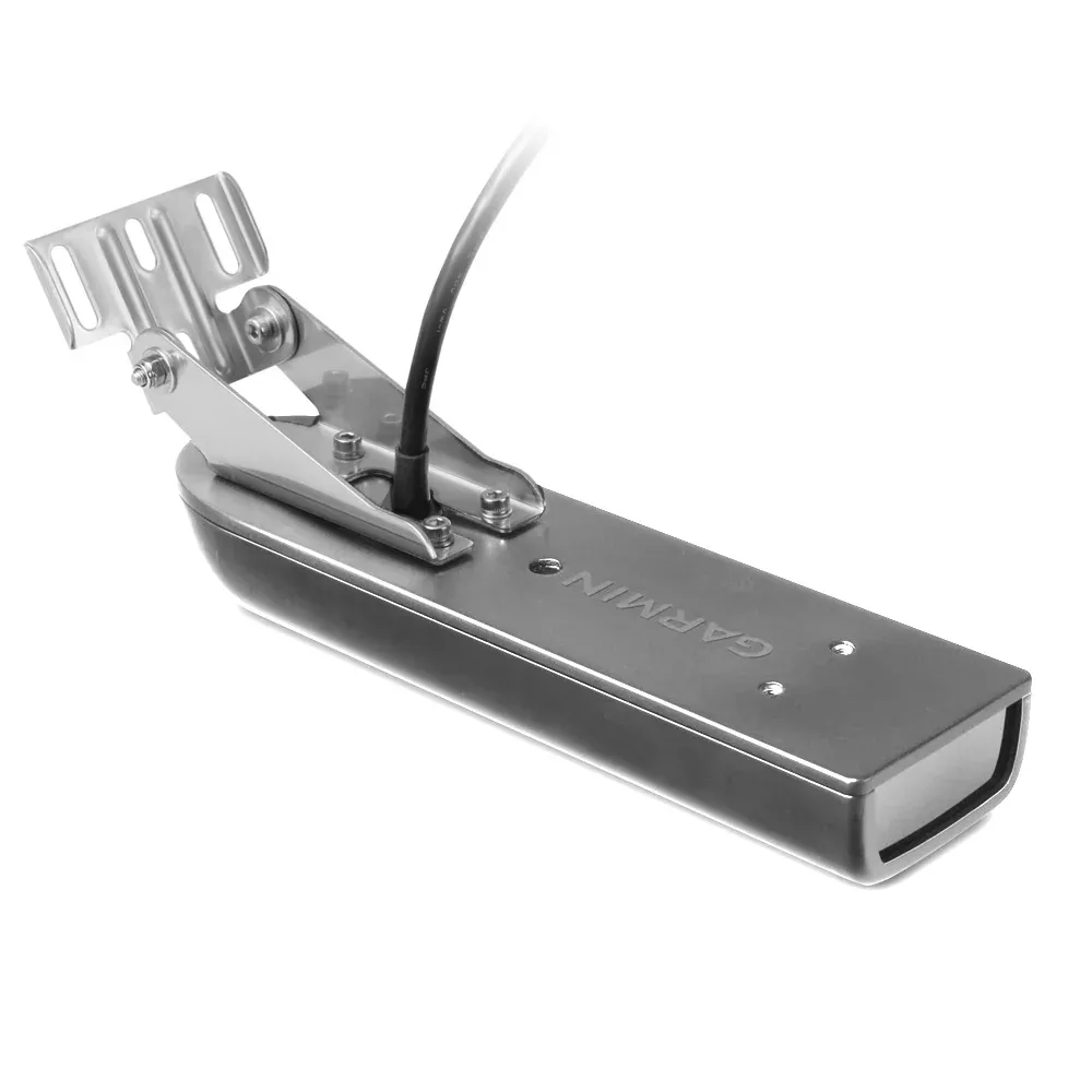
Dive deep into the water column with built-in support for 1 kW CHIRP traditional sonar, which excels at separating targets for precise fish arches and bottom details. Pair it with ClearVü scanning sonar to reveal striking images of structure up to remarkable depths, helping you spot drop-offs, wrecks, and schools without guesswork.
For live-action viewing, connect compatible all-seeing sonar systems that show movement around your boat in real time—perfect for trolling or jigging. Anglers often share stories of hooking trophy fish after spotting them live on screen, turning average outings into record-breakers.
Pro Tip: Fine-tune frequency settings based on water conditions—lower for deeper scans in murky lakes, higher for shallow bays—to maximize clarity every time.
Rich Mapping That Guides You Confidently
Out of the box, you’ll explore detailed coastal and inland coverage blending trusted data sources for spot-on navigation. Auto Guidance technology plots efficient paths around obstacles, saving time on trip planning so you spend more hours on the water.
Upgrade paths offer enhanced satellite imagery and shaded relief for visualizing terrain, while community-sourced contours keep your maps evolving with the latest hotspots. Sailors appreciate the precision for coastal hops, while freshwater enthusiasts love the ultra-detailed lake bathymetry.
Build Your Dream Helm with Effortless Connectivity
Link up multiple screens to share maps, radar overlays, and camera feeds across your boat via a robust marine network. NMEA standards open doors to autopilots, weather stations, audio systems, and sensors, creating a unified command center.
Engine data flows seamlessly with J1939 support, displaying RPM, fuel burn, and trim angles from popular outboards. The OneHelm interface consolidates third-party controls, like digital switches, onto one intuitive display—streamlining operations during busy maneuvers.
Wireless pairing extends to wearables and remotes, letting you glance at your wristwatch for heading info while keeping hands free. Add the companion app for on-the-go chart management, software tweaks, and community-shared intel.
Tailored Features for Sailors and Racers
Racing sailors find built-in laylines, set/drift calculations, and wind overlays indispensable for tactical edges. Visualize true wind angles and polar tables to optimize sail trim, turning close races into victories. Cruisers benefit from tide data and virtual buoys for safer passages.
What’s Included for Quick Setup
The core 7-inch chartplotter unit
Power/data cable for straightforward wiring
Versatile bail mount with easy-adjust knobs
Flush-mount kit and protective elements
Snap-on trim covers for a clean finish
Quick-start docs to get you underway fast
Everything arrives ready to mount, with flexible options for surface or recessed installs on consoles from 20-foot center consoles to larger yachts.
Real-World Applications and User Tips
Fishermen use it to log productive spots with Quickdraw mapping, building private contour charts over time. Coastal cruisers overlay radar for fog navigation, while offshore adventurers stack sonar sources for comprehensive bottom tracking.
To optimize performance, position transducers away from hull strakes for clean water flow, and calibrate compass swings post-install for pinpoint accuracy. Regular firmware checks via app ensure you’re always running peak capabilities.
Frequently Asked Questions
What types of sonar does the Garmin GPSMAP 742xs Plus support?
It handles 1 kW CHIRP traditional sonar for excellent target separation, ClearVü scanning for detailed structure views, and all-seeing live sonar systems for real-time underwater action.