Discover Seamless Navigation with Advanced Chartplotter Technology
Imagine gliding across open waters with crystal-clear situational awareness at your fingertips. The Garmin GPSMAP 1242xsv delivers that precision through its expansive 12-inch WXGA display, combining vibrant visuals with intuitive keypad controls and a versatile multifunction knob. This setup shines in bright sunlight or rough conditions, where touchscreen alternatives might falter, ensuring you stay focused on the horizon.
Boaters rave about its fluid interface—programmable hotkeys let you customize access to essential functions like waypoint marking or sonar toggles. Whether you’re plotting a coastal cruise or chasing trophy fish in inland lakes, this unit transforms complex data into actionable insights.
Superior Mapping for Every Voyage
Outfitted with preloaded LakeVü g3 inland maps covering over 17,000 U.S. lakes at 1-foot contours and BlueChart g3 coastal charts infused with Navionics data, navigation feels effortless. Auto Guidance technology factors in your boat’s draft and overhead clearance to suggest optimal paths, helping dodge shallows and obstacles.
Enhance your setup with optional upgrades like LakeVü g3 Ultra or BlueChart g3 Vision for relief shading that reveals underwater terrain in stunning detail—think fish-holding drop-offs popping into view. Depth Range Shading and Shallow Water Shading provide at-a-glance safety cues, perfect for unfamiliar waters.
Powerful Sonar Insights Without Compromise
Unlock next-level fishfinding with built-in 1 kW CHIRP traditional sonar, CHIRP ClearVü for downward clarity, and CHIRP SideVü for wide-area scanning. Pair it with Panoptix transducers for live, real-time views ahead, below, and around your vessel—ideal for trolling or docking in low visibility.
CHIRP’s variable frequencies separate targets better than fixed sonar, spotting baitfish schools amid structure while minimizing clutter. Network sharing lets multiple screens display sonar overlays like radar echoes or GPS speed, streamlining crew decisions during busy outings.
Robust Networking for a Connected Vessel
Two Garmin Marine Network ports enable seamless sharing of sonar, user data, radar, IP cameras, and more across units. NMEA 2000 and 0183 compatibility integrates autopilots, VHF, AIS, weather stations, and digital switching—centralizing control from one helm station.
Wireless remote compatibility and GRID devices keep operations hands-free. Sailors benefit from synchronized race timers, laylines, and wind data synced across networked gear for tactical edges in regattas.
Stay Linked with Wi-Fi, ANT, and ActiveCaptain
Built-in Wi-Fi connects to the ActiveCaptain app, turning your smartphone into a trip planner. Prefish lakes, update charts, join the Quickdraw Contours community, or receive smart notifications—all syncing effortlessly to the plotter.
ANT+ links to quatix watches, gWind transducers, and Nautix displays for real-time data streaming. GPX imports from other devices mean your favorite spots transfer hassle-free, preserving years of hard-earned knowledge.
Lightning-Fast Positioning and Custom Maps
A 10 Hz GPS/GLONASS receiver refreshes position and heading 10 times per second, rendering smooth tracks for pinpoint waypoint drops (up to 5,000) and hairpin turns. Quickdraw Contours generates personalized HD maps with 1-foot contours on the fly—keep them private or share via Garmin Connect.
This zero-lag precision excels in marinas or high-speed pursuits, where every second counts.
Tailored for Sailors and Anglers Alike
SailAssist tools include pre-race pages with virtual start lines, burn time calculators, wind roses, set/drift indicators, and true/apparent wind overlays. For anglers, sonar history rewind and recording capture every moment, letting you analyze structure post-trip.
IPX7 waterproofing and versatile mounting (bail or flush) withstand spray and swells, while low power draw (under 35W max) suits extended adventures.
What’s Included for Quick Setup
GPSMAP 1242xsv chartplotter
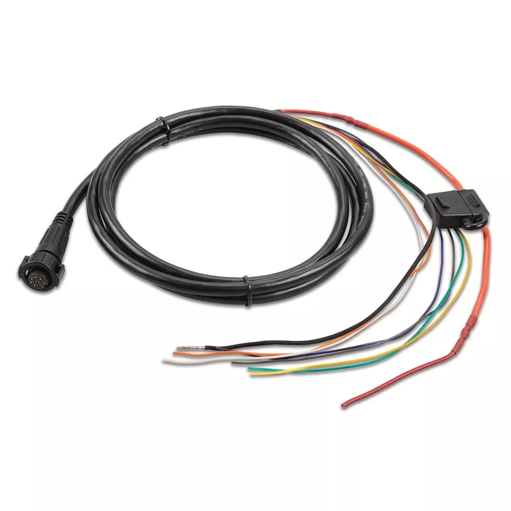
Power/data cable
NMEA 2000 T-connector and drop cable (2 m)
8-pin to 12-pin transducer adapter
Bail and flush mount kits with gaskets
Protective cover and trim snaps
Documentation
Key Specifications at a Glance
Feature
Details
Dimensions
14.1″ x 8.9″ x 2.7″ (35.8 x 22.6 x 6.9 cm)
Display Resolution
1280 x 800 WXGA
Weight
5.2 lbs
Transmit Power
1 kW CHIRP
Max Depth
5,000 ft (conditions dependent)
Network Ports
2 Garmin Marine, 1 NMEA 2000
Waypoints
5,000
Frequently Asked Questions
Does the Garmin GPSMAP 1242xsv include a transducer?
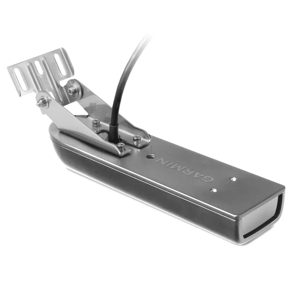
No, this combo unit does not include a transducer. It features built-in sonar capabilities ready for your choice of compatible transducers sold separately.
What types of sonar does it support?
It supports Garmin 1 kW CHIRP traditional sonar, CHIRP ClearVü, CHIRP SideVü scanning sonars, and Panoptix all-seeing sonar for comprehensive underwater views.
Is networking supported on this chartplotter?
Yes, with two Garmin Marine Network ports, NMEA 2000, and NMEA 0183, you can share data like sonar, radar, and maps across multiple units and sensors.
How does the 10 Hz GPS benefit boating?
The 10 Hz refresh rate updates position and heading 10 times per second, providing smoother on-screen movement for precise navigation in dynamic situations like docking or racing.
Can I create custom maps with this device?
Absolutely, Quickdraw Contours lets you instantly generate HD maps with 1-foot contours on-screen, which you can save, personalize, or share with the community.
What app integrates with the GPSMAP 1242xsv?
The ActiveCaptain app connects via built-in Wi-Fi for chart updates, trip planning, community maps, and smart notifications directly from your mobile device.
Is it suitable for sailing?
Yes, SailAssist features like laylines, race timers, wind roses, and synchronized data across networks give sailors a competitive advantage.