Discover the Power of Precision Navigation on the Water
Imagine gliding across open waters or navigating tight inland channels with confidence, thanks to crystal-clear visuals and sonar insights that reveal what’s below the surface. The Garmin GPSMAP 1242xsv with BlueChart g3 and GT52HW-TM transducer delivers this experience through its expansive 12-inch WXGA display. This isn’t just a screen—it’s a command center designed for serious boaters who demand responsive controls via an intuitive keypad and programmable multifunction knob. Whether you’re chasing trophy fish or plotting a coastal cruise, its built-in high-sensitivity 10 Hz GPS/GLONASS tracks your position and heading with fluid 10-times-per-second updates, ensuring pinpoint accuracy even in choppy conditions.
Advanced Sonar That Sees Everything
Equipped with the GT52HW-TM transom-mount transducer, this unit unlocks Garmin’s renowned CHIRP traditional sonar alongside CHIRP ClearVü and CHIRP SideVü scanning technologies. Dive deeper into underwater details with 1 kW transmit power capable of reaching up to 5,000 feet, depending on conditions. Spot fish arches, structure, and bait schools with exceptional clarity. For forward-facing views, it seamlessly supports Panoptix all-seeing sonar systems like LiveScope, giving you real-time awareness of fish movements without guesswork.
Network multiple units to share sonar data effortlessly, overlaying radar, speed, or time info for a customized dashboard. Boaters love how sonar history rewind lets you review past scans, perfect for marking hot spots during scouting runs.
Superior Mapping for Inland and Coastal Adventures
Preloaded with LakeVü g3 for over 17,000 U.S. lakes featuring 1-foot contours and BlueChart g3 coastal charts infused with Navionics data, navigation becomes intuitive. Auto Guidance+ technology plots safe routes based on your boat’s draft and clearance, displaying suggested paths to avoid hazards. Features like Depth Range Shading and Shallow Water Shading highlight safe zones, while high-res relief shading on optional upgrades paints a vivid picture of the bottom.
Take control with Quickdraw Contours—create your own HD maps with 1-foot detail in real-time. Share them via the community or keep them private. Transfer GPX waypoints from other devices for seamless integration into your routine.
Seamless Connectivity and Smart Boating Features
Stay linked with built-in Wi-Fi for the ActiveCaptain app, enabling chart updates, trip planning, and community-shared contours from your phone. ANT+ connectivity pairs with marine watches, wireless wind sensors, and action cameras for hands-free control. NMEA 2000 and 0183 compatibility integrates autopilots, AIS, VHF, weather stations, and cameras across your vessel.
Sailors benefit from SailAssist tools: virtual starting lines, laylines, synchronized race timers, wind roses, and set/drift calculations for that winning edge. Smart notifications keep you informed without distraction.
Rugged Build for Real-World Demands
IPX7 waterproofing withstands splashes and submersion, while the 5.2 lb unit offers bail or flush mounting options. Power draw stays efficient at under 35W max. Dual SD card slots handle expanded storage for routes (100 max), waypoints (5,000), and 50,000-point tracks.
Key Specifications
Feature
Details
Dimensions
14.1″ x 8.9″ x 2.7″ (35.8 x 22.6 x 6.9 cm)
Display Size/Resolution
10.3″ x 6.4″; 1280 x 800 WXGA
Weight
5.2 lbs (2.34 kg)
Water Rating
IPX7
Transmit Power
1 kW CHIRP
Max Depth
5,000 ft (conditions dependent)
Network Ports
2 Garmin Marine Network; NMEA 2000/0183
Wireless
Wi-Fi, ANT+
Everything You Need to Get Started
GPSMAP 1242xsv chartplotter
GT52HW-TM transducer
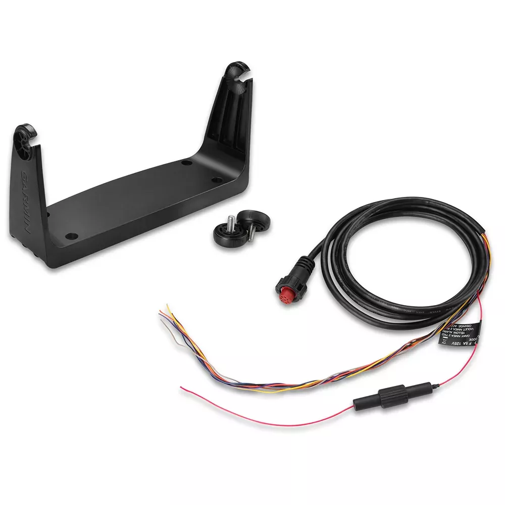
Power/data cable
NMEA 2000 T-connector and drop cable
Bail and flush mount kits
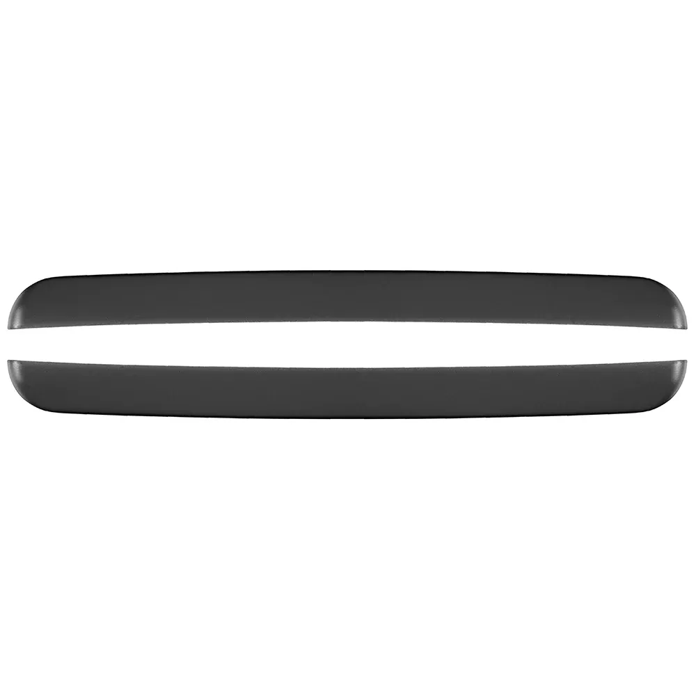
Protective cover and trim pieces
Documentation
Frequently Asked Questions
What sonar technologies does the GPSMAP 1242xsv support?
It features built-in 1 kW Garmin CHIRP sonar, CHIRP ClearVü for downward views, and CHIRP SideVü for side-scanning, plus compatibility with Panoptix LiveScope for live-action fish tracking.