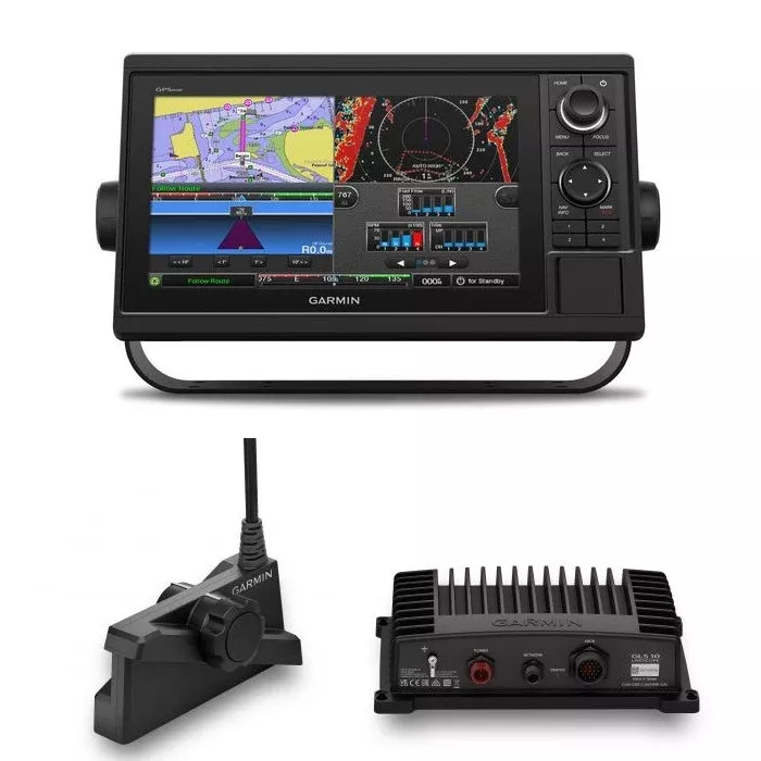
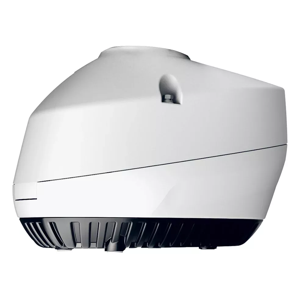
The Garmin GPSMAP 1222 LiveScope Plus bundle pairs Garmin’s keyed-interface 12-inch chartplotter (the GPSMAP 1222 with the multifunction control knob and programmable keys preferred by sailors and many cruisers) with the LiveScope Plus LVS34 live sonar system (GLS 10 sonar black box plus the LVS34 transducer) for the complete sonar-and-chartplotter helm package. Worldwide basemap. Garmin Marine Network and NMEA 2000 plus NMEA 0183 connectivity. 10 Hz GPS / GLONASS. Dual SD card slots for accessory charts. Wi-Fi for the Garmin Helm and ActiveCaptain apps. The bundle for serious cruisers and sailing-race boats that want LiveScope live sonar combined with a keyed (not touchscreen) chartplotter.
The Garmin GPSMAP 1222 LiveScope Plus bundle (part 010-01741-00 with the LVS34 LiveScope system) packages two Garmin marine electronics together: the GPSMAP 1222 12-inch keyed chartplotter and the LiveScope Plus LVS34 live sonar system (which includes the GLS 10 sonar black box and the LVS34 transducer). The right bundle for sailors, cruisers, and serious sport-fishing operators who want the keyed-interface chartplotter (programmable keys plus the multifunction control knob, no touchscreen to misfire in rough water with wet hands) AND the LiveScope live sonar capability that lets you watch fish in real time around the boat.
Why a keyed chartplotter instead of touchscreen. The GPSMAP 1222 uses a keypad interface with user-programmable keys and a multifunction rotary control knob, not a touchscreen. For sailors handling sheets and helm in rough water, for offshore power boats running at speed in chop, and for any helm where wet salt-spray hands hit the screen often, a keyed interface stays usable when a touchscreen gets washed out by water droplets and erratic touch input. Programmable keys let you set the most-used functions to one-press shortcuts. The rotary control knob handles the cursor work and menu navigation faster than touch in conditions where your hand isn’t steady on the screen.
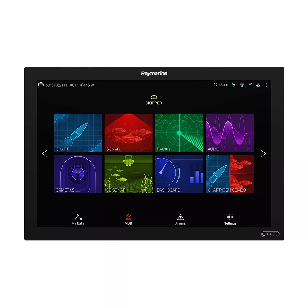
12-inch WXGA display. The 12-inch (10.3 x 6.4 inch active area) color WXGA display runs at 1280 x 800 resolution. Bright enough for direct-sun helm use. The screen size is the right balance for typical 25-40 foot helm dash space: large enough to split into a chart-plus-sonar view without either pane getting cramped, small enough to fit dashes that don’t have room for a 16-inch unit.
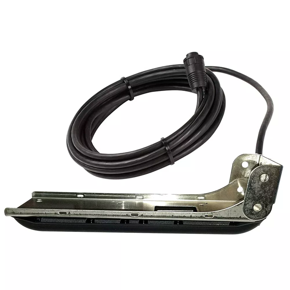
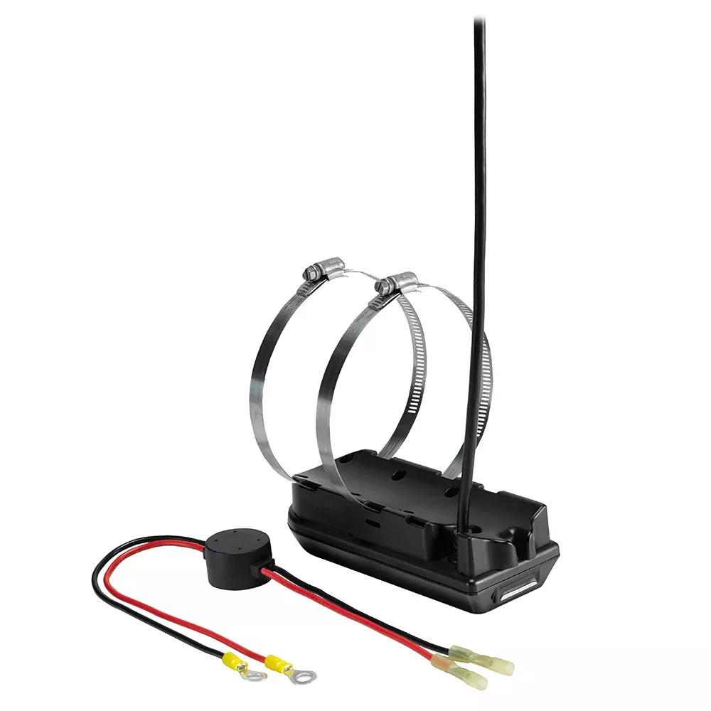
LiveScope Plus LVS34 live sonar. LiveScope is Garmin’s live sonar technology that shows fish, structure, and bottom contour in real time around the boat instead of as a scrolling history. The LiveScope Plus LVS34 system in this bundle includes the GLS 10 sonar black box (the processing unit that handles the live sonar computation) and the LVS34 transducer (the multi-element array transducer that does the actual sonar pinging). With LiveScope you see fish swim toward your bait, watch them turn and follow, and watch the strike happen, all in real time on the chartplotter screen. LiveScope Plus is the second-generation LiveScope system with sharper resolution and better target separation than the original.
Three LiveScope view modes. The LVS34 transducer supports three view modes selectable on the chartplotter: forward (looking out from the bow for casting and structure scouting), down (looking straight down below the boat for vertical jigging and ice fishing), and perspective (a wider 3D-ish view that shows fish positions in the water column around the boat). Switch between them based on the fishing situation. Mount the transducer on a trolling motor or on a dedicated LiveScope pole mount and rotate the transducer to point in the direction you want to look.
Garmin Marine Network connectivity. The GPSMAP 1222 connects to other Garmin Marine Network devices over Ethernet for high-speed data sharing: radar, sonar (CHIRP, ClearVu, SideVu, Panoptix, LiveScope), additional chartplotter displays in the multi-helm setup, IP cameras, GCV black-box sonar modules, and the rest of the Garmin networked helm electronics. The Network is what makes Garmin’s multi-display helms work as one integrated system rather than as separate displays.
NMEA 2000 + NMEA 0183. The NMEA 2000 port handles instrument data from the boat’s NMEA 2000 backbone (depth, speed, wind, GPS from external sources, AIS, engine data, fuel level, etc.). NMEA 0183 support handles older instruments that haven’t moved to NMEA 2000 yet (typical: older autopilots, older VHF radios, older AIS receivers). The dual-protocol support means the GPSMAP 1222 fits into modern and legacy NMEA installations equally well.
Wi-Fi for ActiveCaptain and Garmin Helm. The built-in Wi-Fi lets the chartplotter talk to the Garmin ActiveCaptain mobile app (chart updates, software updates, waypoint sync, community marina and anchorage data) and the Garmin Helm app (mirror the chartplotter screen on a phone or tablet, control the chartplotter remotely, useful for monitoring from the cockpit on a sailboat or from anywhere on a larger power boat).
10 Hz GPS / GLONASS receiver. The internal GPS receiver updates position 10 times per second (instead of the once-per-second of older GPS units), which makes the boat’s position symbol move smoothly across the chart rather than jumping in 1-second steps. Important for high-speed power boating where the boat moves significant distance between updates and important for racing where every fraction of a second counts. GLONASS support adds the Russian satellite constellation to the GPS constellation for better position accuracy and faster fix in challenging satellite-visibility conditions.
Sailing race features. The GPSMAP 1222 has the Garmin sailing-race feature set: virtual starting line with laylines, time-to-burn before the start, a race timer that synchronizes across all networked Garmin GPS units, enhanced wind rose, heading and course-over-ground lines, set and drift display, true and apparent wind data, and the rest of the racing-specific overlays. For club-level racers and serious campaign sailors, the racing features are why the GPSMAP 1222 (over Garmin’s other 12-inch chartplotter options) is the right pick.
BlueChart g2 Vision HD compatible. The bundle ships with the Worldwide Basemap (a low-detail global outline map, useful for general orientation but not for safe navigation in detail). For actual navigation, you’ll want to add a BlueChart g2 Vision HD chart card for your cruising area (sold separately). g2 Vision adds the Garmin Auto Guidance feature that calculates a recommended route from your current position to a destination waypoint based on the boat’s draft, the chart’s depth data, and obstruction data. For inland lakes the LakeVu HD or LakeVu HD Ultra chart cards are the right addition.
Auto Guidance. With BlueChart g2 Vision HD installed, Auto Guidance suggests a navigation route from your current position to a destination, accounting for the boat’s draft and the charted depth and obstruction data. The route is for planning purposes only – you still verify it for safe navigation – but it saves significant time vs. manually drawing routes around hazards.
Two SD card slots for storage. Two SD card slots let you carry multiple chart cards (one for cruising area, one for fishing area) and / or use one slot for chart cards while using the other for waypoint backup, screen-shot export, or sonar recording.
What’s included. GPSMAP 1222 chartplotter, mounting bracket (bail mount or flush mount choice), power cable, NMEA 2000 cable, install instructions. plus the LVS34 LiveScope Plus transducer and the GLS 10 sonar black box for the live sonar half of the bundle. Required separately: chart cards for your cruising area, transducer mount (trolling motor mount or LiveScope pole mount, depending on install), and the boat-side NMEA 2000 backbone if you don’t already have one.
2-year limited Garmin warranty on each component. Same-day shipping before 3 PM ET on in-stock units.