Discover Superior On-Water Performance with Advanced Sonar and Mapping
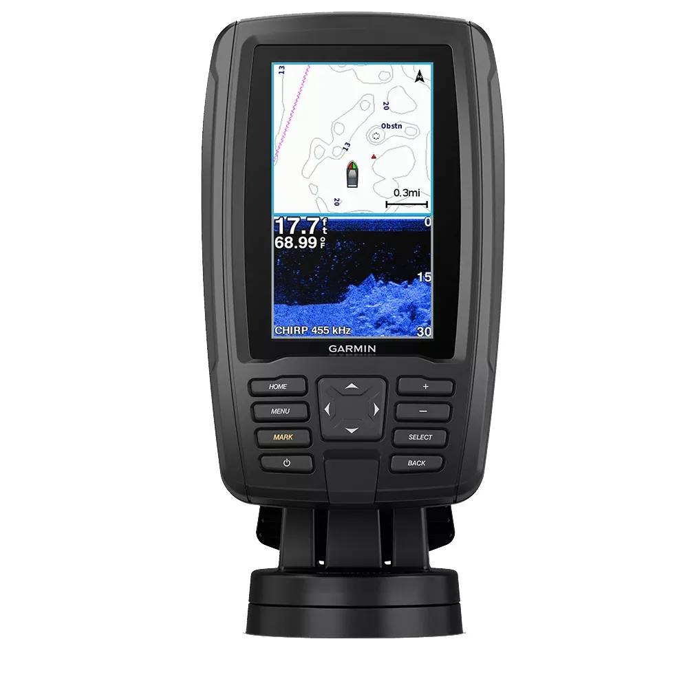
Imagine heading out for a day of fishing or cruising the coast, equipped with a compact device that delivers crystal-clear views beneath your boat and detailed charts at your fingertips. The Garmin ECHOMAP Plus 44cv with BlueChart g3 and GT20-TM transducer stands out as a reliable companion for serious anglers and boaters. Its blend of high-definition sonar imaging, customizable mapping, and intuitive controls makes every trip more productive and enjoyable.
What sets this unit apart is its ability to adapt to your needs on the water. Whether you’re chasing striped bass along the Eastern Seaboard or navigating the tricky shallows of the Gulf, the preloaded coastal charts cover key areas from the East Coast to the West Coast, including the Gulf of Mexico and parts of the Great Lakes. Anglers love how it reveals fish-holding structures with unprecedented detail, helping you drop lines right where the action is.
Powerful CHIRP Sonar: See More Fish, Structures, and Bottom Details
At the heart of this combo is Garmin’s renowned CHIRP traditional sonar paired with ClearVü scanning sonar, all in one GT20-TM transducer. Traditional CHIRP excels at separating targets—even closely packed schools—by transmitting a wide range of frequencies for sharper images than standard sonar. Meanwhile, ClearVü provides side-to-side scans that look almost like underwater photos, highlighting wrecks, drop-offs, and baitfish balls.
Remarkable target separation for identifying individual fish
Nearly photographic views of the bottom and structures
Compatible with Minn Kota and MotorGuide trolling motors
Depth capability up to 2,300 ft in freshwater at 77 kHz
For kayak anglers or small boat owners, the transom and trolling motor mounts make setup straightforward, ensuring you get consistent readings no matter your vessel.
Custom Mapping with Quickdraw Contours: Your Waters, Your Maps
Why settle for generic charts when you can build your own? Built-in Quickdraw Contours software generates 1-foot contour maps in real-time as you motor across your favorite spots. Spot a hot bite on a reef? Log it instantly and refine your personal library. Keep maps private or contribute to the Quickdraw Community on Garmin Connect to access crowd-sourced intel from fellow boaters.
Expand further with optional BlueChart g3 Vision or LakeVü maps via microSD, unlocking Auto Guidance for safer route planning and Depth Range Shading to visualize safe depths at a glance.
Effortless Installation and Portability
Designed for real-world use, the 4.3-inch sunlight-readable display shines even under harsh conditions, with a quick-release cradle that lets you detach the unit in seconds—no fumbling with cables. Power cords connect directly to the mount, keeping your console clean. Bail or flush mounting options fit kayaks, center consoles, or bass boats seamlessly.
Share waypoints and routes wirelessly with compatible ECHOMAP or STRIKER units, perfect for multi-boat outings or tournament teams.
Technical Specifications at a Glance
Key specifications for Garmin ECHOMAP Plus 44cv
Category
Specification
General
Physical dimensions
4.0″ x 6.5″ x 3.1″ (10.2 x 16.5 x 7.9 cm)
Display size
4.3″ diagonal (2.1″ x 3.7″)
Display resolution
480 x 272 pixels (WQVGA)
Weight
1.6 lbs (0.7 kg)
Water rating
IPX7
Sonar Features
CHIRP sonar
Yes (built-in)
ClearVü
Yes with CHIRP
Transmit power
500 W (RMS) / 4,000 W (peak-to-peak)
Maximum depth
2,300 ft @ 77 kHz (freshwater)
Maps & Memory
Preloaded maps
BlueChart g3 (U.S. coastal)
Waypoints
5,000
Routes
100
Connections
Transducer pins
4-pin
NMEA 0183 ports
1 input / 1 output
Everything You Need for a Seamless Setup
ECHOMAP Plus 44cv with BlueChart g3 coastal charts
GT20-TM transducer
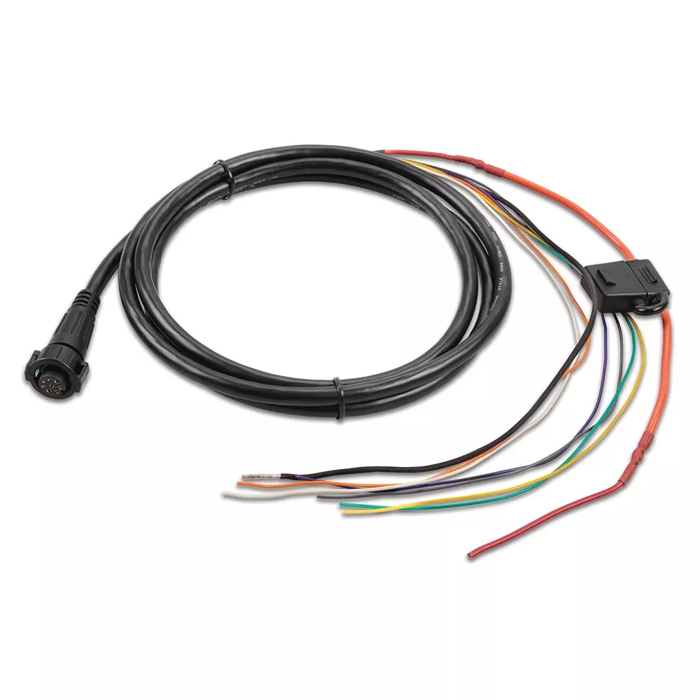
Power/data cable
Tilt/swivel mount with quick-release cradle
Flush mount kit
Hardware and protective cover
Documentation
Pro Tips for Maximizing Your ECHOMAP Plus 44cv
To get the most out of your unit, adjust sonar frequencies based on water conditions—lower for deeper scans, higher for shallow clarity. Regularly update software via Garmin Connect for the latest features. For coastal trips, layer Quickdraw maps over BlueChart g3 to mark productive wrecks or current rips. In tournaments, sharing routes with crew keeps everyone synced.