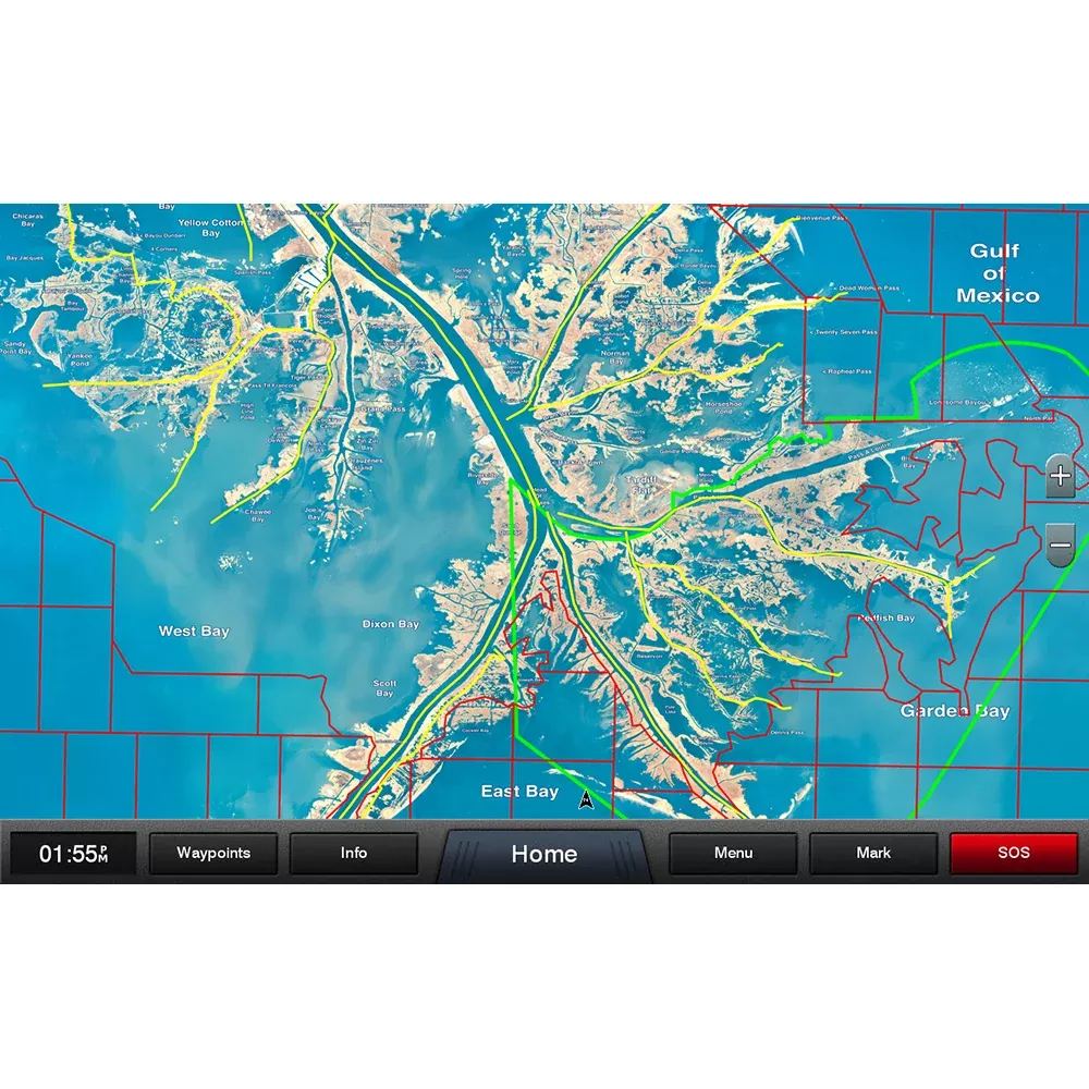
C-MAP 4D Cartography on SD Card C-MAP 4D is the latest evolution of electronic charting technology, combining award-winning vector chart data with exclusive Dynamic Raster Charts and the ability to view charts in 2D or amazing 3D presentation with high-resolution satellite imagery. Packed with innovative features designed to enhance every cruising, fishing or sailing experience.
CMAP MNAD074MS Attributes
CMAP MNAD074MS Features & Benefits
Base Cartography
Features Port Info, Tidal Heights, Tidal Flows, Animated Tidal Arrows, Ocean Currents, Guardian Alarm, Detailed Harbor Charts and C-Marina Port Database
Aerial Photos, European POI’s, Land Elevations and Nav-Aids
Multi-Language (UNICODE)
3D View and Perspective (Bird’s Eye) View
Satellite Images Overlay and Raster Charts Overlay
Major Roads and Detailed Roads
Easy Routing
California MPA’s (US only)
C-MAP M-NA-D074 4D microSD
US Lakes South East
Model: M-NA-D074-MS
C-MAP charts have long been held in high regard by boaters because they combine aesthetically pleasing vector electronic charts with reliable sources. When buying C-MAP boaters can be assured that the charts they are getting are of the highest standard.
C-Map 4D will provide boaters with charts packed additional features such as raster chart views or Satellite images* to maximize situational awareness.
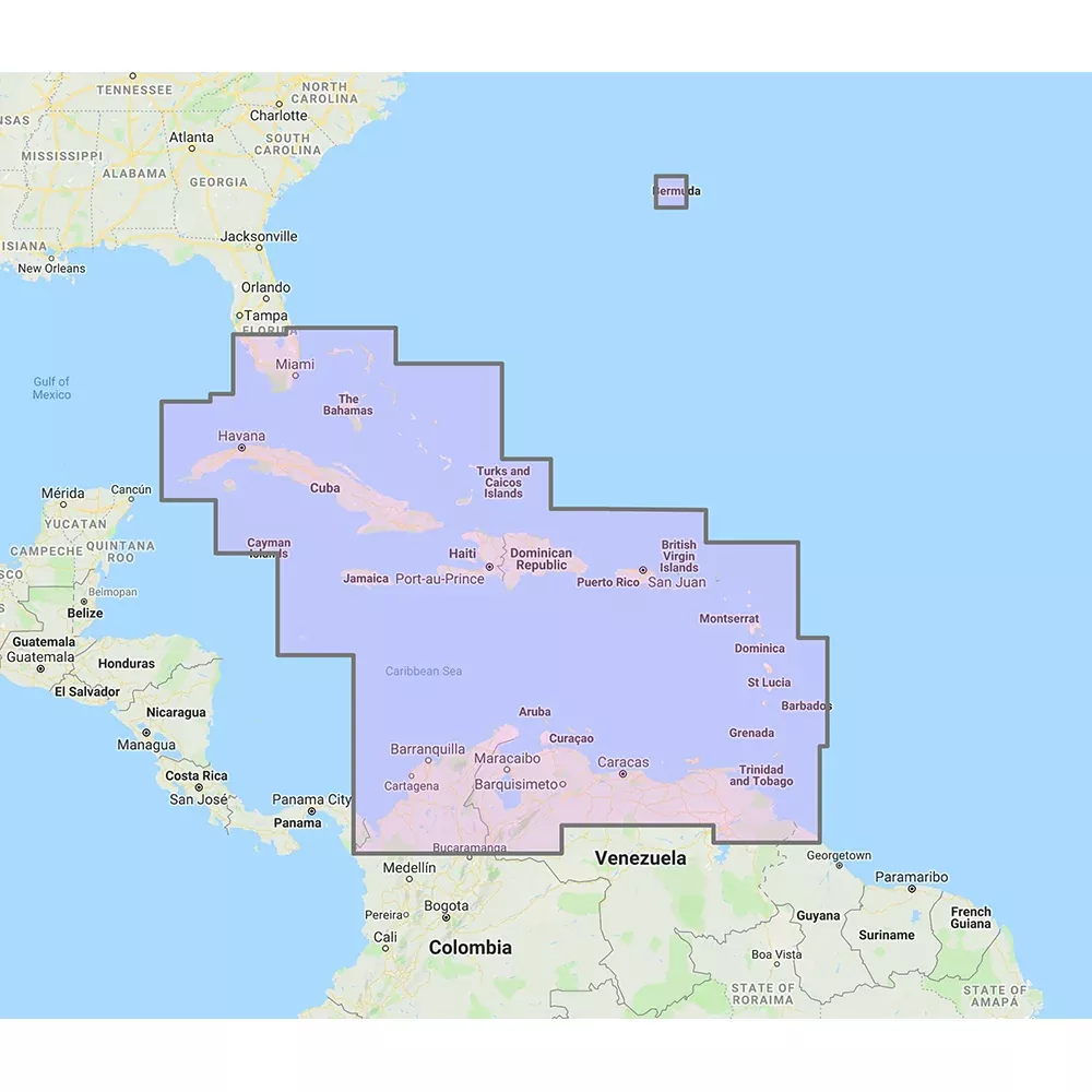
Coverage Area:Lakes and major rivers of the South East area of the USA in the states of: Florida, Georgia, Alabama, Tennessee, South Carolina, North Carolina.
C-Map M-Na-D074 4D Micro Sus Lakes Southeast Region Model: M-Na-D074-Ms Rowers have long attached great importance to C-Map charts because they combine beautiful vector… SKU: NVN-1000317 MPN: M-NA-D074-MS UPC: 9420024181775